


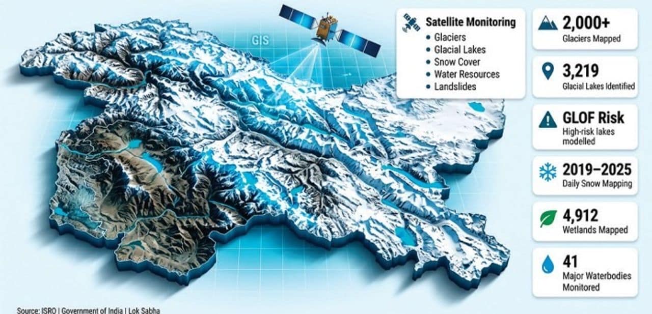

Srinagar, Jul 29: The Government of India has mapped more than 2,000 glaciers and 3,219 glacial lakes in Ladakh using satellite and geospatial technologies as part of a comprehensive initiative to strengthen disaster management and climate monitoring in the Union Territory, the Lok Sabha was informed on Wednesday.
Replying to an unstarred question in the Lok Sabha, Union Minister of State in the Prime Minister’s Office, Personnel, Public Grievances and Pensions, Atomic Energy and Space, Dr Jitendra Singh, said the Indian Space Research Organisation (ISRO) and other government agencies are using advanced satellite-based technologies to monitor glaciers, glacial lakes, snowfall, water resources and landslide-prone areas across Ladakh.
According to the minister, a database of more than 2,000 glaciers in Ladakh has been generated using satellite data collected between 2020 and 2023. In addition, changes in the extent of more than 1,000 glaciers over the past two decades have been mapped to assess long-term climatic and environmental changes.
The minister said an inventory of 3,219 glacial lakes, each measuring more than 0.25 hectares, has been prepared under the National Hydrology Project of the Ministry of Jal Shakti.
He informed the House that satellite-based Glacial Lake Outburst Flood (GLOF) risk modelling has also been carried out for high-risk glacial lakes, including Katkar and Suru, to strengthen disaster preparedness and early risk assessment.
The government has also undertaken daily satellite-derived snow cover mapping across the Indian Himalayan region, including Ladakh, from 2019 until September 2025 to monitor seasonal snow conditions and water availability.
As part of broader environmental mapping, 4,912 wetlands in Ladakh have been identified and mapped in collaboration with the University of Jammu, Dr Singh said.
He further informed Parliament that satellite imagery is being used to monitor around 41 waterbodies larger than five hectares. The information is made available through the Bhuvan Waterbody Information System, under which periodic monitoring has been carried out since 2012.
The minister also said ISRO is regularly updating Ladakh’s landslide inventory using satellite imagery to support hazard assessment and disaster mitigation efforts.
The information was provided in response to Lok Sabha Unstarred Question No. 1808, highlighting the Centre’s increasing reliance on space-based technologies for environmental monitoring, climate resilience and disaster risk management in the ecologically fragile Himalayan region.
About The Author