


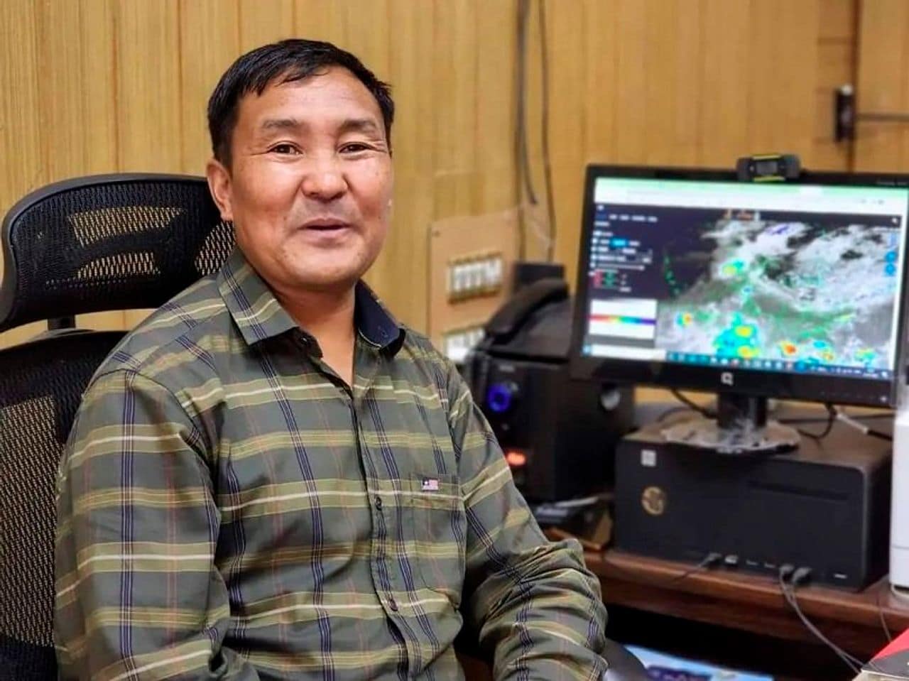

Srinagar, Jul 19: Top Meteorologist and former Director MeT, Sonam Lotus on Sunday warned that Orographic effects combined with temperature conditions and moisture incursion would bring frequent rains and heavy showers, preventing the weather from stabilising for at least a week.
The twin PirPanjal districts of Rajouri and Poonch, already reeling from the sudden deluge that struck late Saturday night and continued into Sunday morning, now face heightened risks of further landslides, mudslides, rockfalls, and flash floods in vulnerable hilly terrain as the Meteorological Department has forecast an extended wet spell through July.
Sonam Lotus on Sunday provided critical insight into why the region is witnessing such intense and prolonged activity.
He attributed the situation to orographic reasons — the forced lifting of moist air masses over the steep slopes of the PirPanjal range and lesser Himalayan foothills in these districts.
“Due to orographic reasons, temperature conditions and moisture incursion, there will be frequent rains and heavy showers during the current week. The weather will not stabilise for a week,” Lotus told Greater Kashmir.
“Moist air flowing in from the Arabian Sea and Bay of Bengal (aided by the current positioning of the monsoon trough) is forced upward along the windward slopes,” he said adding that as the air rises, it cools rapidly, leading to condensation and heavy orographic precipitation — often far more intense and localised than in the plains.
“This mechanism, combined with atmospheric instability from temperature patterns, produces the kind of cloudbursts and sustained heavy showers now battering Rajouri and Poonch,” Lotus said.
The Meteorological Department has reinforced this outlook, issuing an advisory for an extended wet spell from July 19 to 23, with warnings of flash floods, landslides, mudslides and rockfalls in vulnerable zones.
Road connectivity, including stretches towards the Jammu-Srinagar National Highway, could face disruptions.
Waterlogging and minor flooding are also likely in low-lying areas.
About The Author


